Chicago weather faces heavy rain, wind and hail Tuesday
Is part of a multiday storm threat spanning more than a dozen states Tuesday, with heavy rain, damaging wind and hail raising flood concerns from the Midwest…
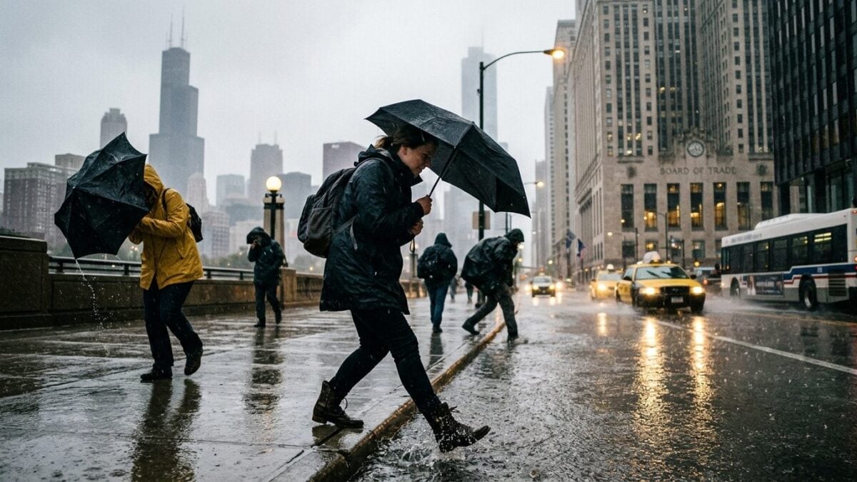
CHICAGO — Chicago weather is heading into a multiday storm threat Tuesday as heavy rain, strong wind and hail move across a broad stretch of the United States, according to Fox Weather. The system is expected to hit more than a dozen states, with flood risk running from the Midwest to the Northeast.
The warning matters because the setup reaches far beyond one city. Travel delays, street flooding and fast-changing conditions could affect a large corridor at the same time, and Chicago sits inside the broader Midwest zone facing severe weather risk on Tuesday, July 21, 2026.
Weather Planner: Tuesday, July 21, 2026
Fox Weather framed Tuesday as a “Weather Planner” day, with a Yellow Alert in place while forecasters tracked severe storm threats. The main hazards in the forecast were heavy rain, wind and hail. Short fuse. That is the problem.
Storm systems that carry several hazards at once tend to complicate the day for commuters, outdoor workers and anyone with evening plans. Rain can come down hard enough to overwhelm drains. Wind can make driving rough. Hail can turn a routine trip into a scramble for cover.
For Chicago weather watchers, the immediate issue is not just whether storms arrive. It is how quickly they build, where the heaviest bands line up and how long the rainfall hangs around. That combination can make a forecast feel like several different problems packed into one day.
Midwest to Northeast under the threat
The Fox Weather report said the severe weather threat stretches from the Midwest to the Northeast, with flood risk in the same broad corridor. That means the system is not a quick one-off. It is a regional event with multiple rounds of impact.
When a storm threat lasts for more than one day, the stakes rise. Ground that already got soaked earlier can become more vulnerable to flooding later. Roads that looked fine in the morning can turn slick or waterlogged by afternoon. And if strong wind arrives with the rain, power disruptions become a bigger concern.
That is the so what for residents and travelers. Plans made early in the day can fall apart fast. A clean commute can end with slow traffic and poor visibility. Flights, rail trips and long drives across the Midwest and Northeast can all get harder when the same weather system keeps recycling through the region.
Fox Weather said the threat covers over a dozen states, which makes the timing especially important. Not every place will see the same conditions, but the footprint is wide enough that weather moves in one city can ripple into another. Chicago weather, in that setup, becomes part of a much larger headache.
Why the alert level matters
A Yellow Alert signals that people should pay attention to changing weather and be ready for updates. In a storm pattern like this, the forecast can shift as new rain bands develop and stronger cells pop up. Timing matters. A lot.
The report from Fox Weather pointed to heavy rain, wind and hail as the key concerns, and the flood threat adds another layer. Even when severe weather does not hit every neighborhood equally, the broader risk can still affect schools, workplaces and traffic across the region.
For Chicago weather specifically, the practical challenge is staying alert through a day when conditions may change faster than plans. The storm threat is not limited to a single burst. It is multiday, broad and already carrying enough ingredients to keep forecasters busy through Tuesday, July 21, 2026.
Fox Weather’s Tuesday planner kept the focus on a severe storm threat, and the next update will matter most if the heavy rain axis shifts closer to the city or if wind and hail become the dominant hazard across the Midwest corridor.