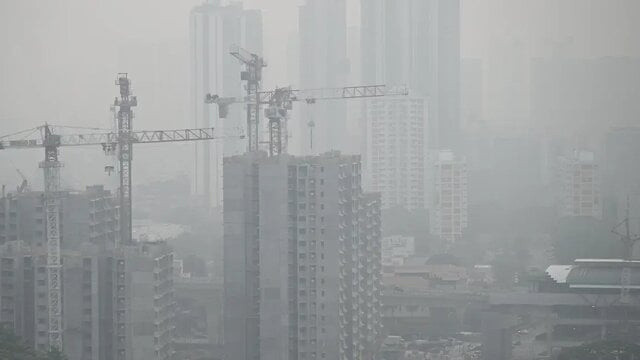
South Africa braces for wet weather and damaging coastal winds on Thursday
Parts of South Africa are in for a rough Thursday, with wet conditions expected in the Eastern Cape, KwaZulu-Natal, Mpumalanga and Limpopo, while the South

Parts of South Africa are in for a rough Thursday, with wet conditions expected in the Eastern Cape, KwaZulu-Natal, Mpumalanga and Limpopo, while the South African Weather Service has issued yellow-level wind warnings for stretches of the eastern coastline.
The strongest alert covers the coast between Port Alfred and Port Edward, where damaging winds could disrupt beachfront activity, small harbours and ports, and make it hard for small boats and vessels to navigate. Tough seas. Slippery timing.
Coastline under pressure
SAWS said the yellow level 2 warning for the Eastern Cape coast is valid for 27 August 2026. The agency’s warning points to localised disruption along the shore, with beachfront operations among the first likely to feel the strain.
A separate yellow level 2 warning applies to the KwaZulu-Natal south coast and the adjacent interior, stretching between Port Edward and Richards Bay. There, damaging winds are expected to affect small harbours and ports, create difficult navigation conditions, and cause localised damage to infrastructure and settlements.
For communities along the coast, that means a day of extra caution. Beaches, breakwaters and boat launches may be exposed to stronger gusts than usual, and travel near the shoreline could turn messy fast.
Wet spell inland and near the coast
Rain is also part of the picture. SAWS said wet conditions are expected in sections of the Eastern Cape, KwaZulu-Natal, Mpumalanga and Limpopo on Thursday, adding another layer of disruption for commuters and outdoor plans.
The warning system matters here. In SAWS’ colour-coded scale, yellow signals a lower-level alert, but it still points to weather that can upset routines, especially when wind and rain arrive together.
That combination can be awkward for road users, too. Wet roads, poor visibility and gusty coastal conditions often come as a package, and Thursday looks set to bring all three in some areas.
Why it matters
For South Africa’s eastern seaboard, weather warnings are not just about comfort. They carry real consequences for small harbours, harbour traffic, beachfront businesses and anyone relying on smaller vessels to move safely close to shore.
The weather service’s outlook also lands during a busy late-winter stretch, when conditions can change quickly along the country’s eastern edge. Here, the wind can arrive first. Then the rain follows.
SAWS said the damaging-winds warning for the Eastern Cape coast runs until 27 August 2026, while the KwaZulu-Natal alert covers the south coast and adjacent interior for the same date.