Hurricane Lowell sharpens northward track, putting Hawaii on alert for possible direct hit
Hawaii is bracing for a possible direct hit as Major Hurricane Lowell moves south of the islands and forecasters say it could swing north late
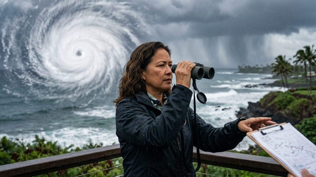
Hawaii is bracing for a possible direct hit as Major Hurricane Lowell moves south of the islands and forecasters say it could swing north late this weekend. The storm remains a powerful Category 4 system, and officials are warning that Kauaʻi and Niʻihau sit closest to the projected path for now.
The National Hurricane Center and local forecasters say Lowell may still be a major hurricane when it reaches the islands early next week. The track is not locked in. Not even close. But the storm’s expected sharp turn has put residents, emergency planners and weather crews on watch across the state.
A familiar and uneasy comparison
For some in Hawaii, the storm is bringing back memories of Hurricane Iniki, the devastating 1992 storm that struck Kauaʻi as a Category 4 hurricane. Lowell’s forecast path has drawn comparisons with Iniki because both storms formed in an El Niño year and both are being watched for a turn toward the islands after moving through the open Pacific.
That comparison is already landing hard on Kauaʻi. Residents on the island were boarding up windows and preparing for the possibility of rough weather. Steve Soltysik, a 78-year-old American Red Cross volunteer in Līhuʻe, said many people on the island are anxious about the chance of “possibly having another ‘Iniki.”
John Bravender, warning coordination meteorologist with the National Weather Service, said Thursday afternoon that Lowell is not forecast to have the same impact as Iniki. Even so, he said forecasters are raising awareness now because the storm could still change course.
Uncertain track, real concerns
As of Thursday morning, Honolulu officials said Lowell remained a Category 4 hurricane with maximum sustained winds of 140 mph. The city said the storm was continuing westward south of the islands and was expected to stay major for several days before slowing and turning north or north-northeast.
That turn is the key. If Lowell shifts as forecast, Kauaʻi and Niʻihau could face the closest approach, though officials stressed that Oʻahu is not entirely out of the picture. Forecasters also said long-range track and intensity predictions are more uncertain than usual, which is why they are urging residents to stay alert through the Labor Day weekend.
HawaiiNewsNow reported that impacts could begin this weekend and reach the westernmost islands from Monday into Tuesday, depending on how close the hurricane passes. Swells from Lowell have already filled in south and southeast shores, and those seas are expected to stay elevated through Saturday before shifting to the southwest early next week, when they could reach warning levels.
Boards up, eyes on the surf
Honolulu city officials said they continue to monitor the storm closely and are asking Oʻahu residents to keep a close eye on forecasts. A Wind Advisory was in place for much of the state through Friday afternoon.
The backdrop is making the warning feel sharper. Lowell is Hawaii’s third storm threat in a month, adding pressure to islands that know how quickly weather in the Pacific can turn. For now, forecasters are watching the clock and the curve of the storm. The next turn will decide a lot.