Severe storms, hail and brief tornado risk as Friday heat gives way across parts of U.S. Midwest and East
Thunderstorms are set to break the heat Friday in parts of the United States, but the relief comes with a price: severe weather watches, large
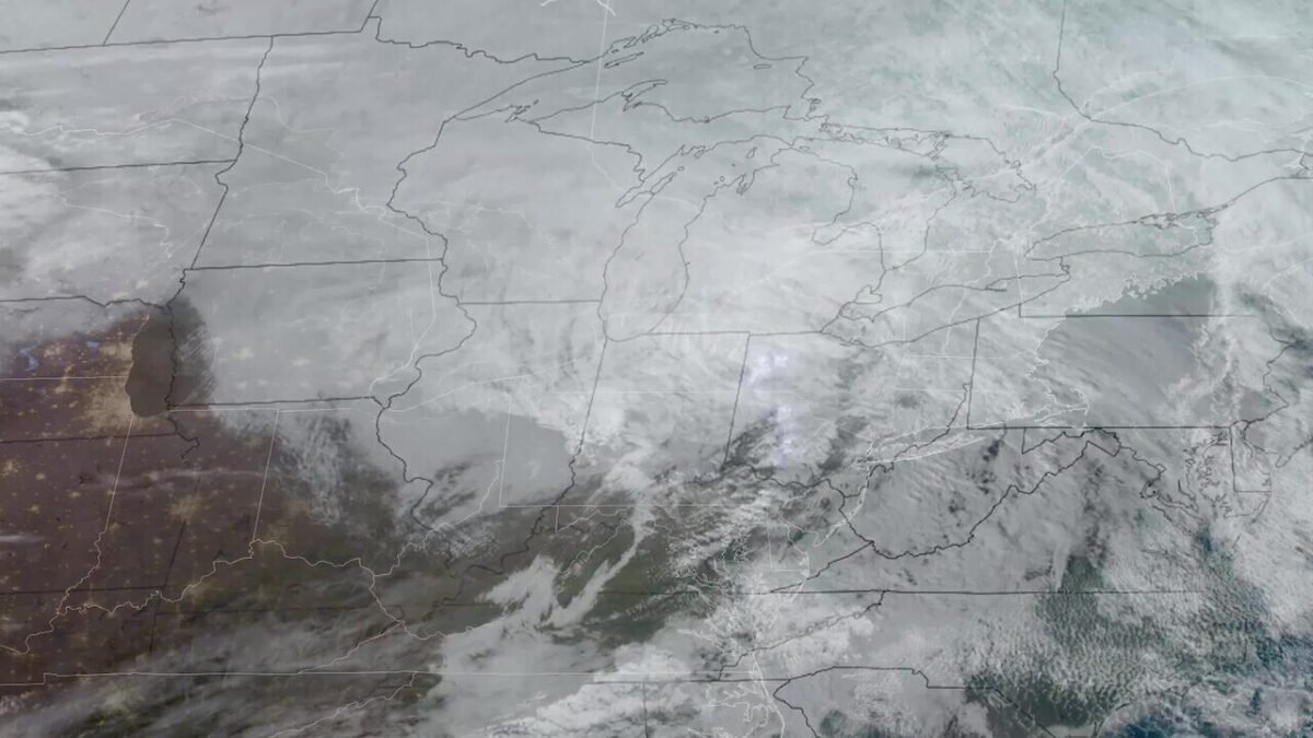
Thunderstorms are set to break the heat Friday in parts of the United States, but the relief comes with a price: severe weather watches, large hail and a brief tornado risk in some areas. From Chicago to Northern California and Washington, forecasters flagged a rough end to the week after a stretch of hot, unsettled weather.
In the Chicago area, officials warned that storms could turn strong by afternoon and into the evening. A Severe Thunderstorm Watch covered Cook, DeKalb, DuPage, Grundy, Kane, Kankakee, Kendall, Lake, LaSalle, McHenry and Will counties in Illinois, along with Lake and Newton counties in Indiana, until 10 p.m. The Storm Prediction Center placed much of the region under a Level 2 risk, and meteorologists said damaging winds and hail were the main concerns. A brief tornado was also possible.
Shortly before 10 a.m., tornado sirens in Wheaton and some other DuPage County areas sounded in error, officials said. The false alarm came as forecasters tracked a day that could still turn volatile. The storms were not expected to be widespread, but the ones that do form may pack a punch.
Hail, heavy rain and sudden spin-ups
Farther west, Northern California faced a different kind of threat. Meteorologists there said stormy weather could bring severe thunderstorms, heavy rain and ping pong-sized hail, with funnel clouds or a brief spin-up also possible. The morning was expected to stay relatively calm before conditions worsened in the afternoon, around 3 p.m., when much of the region could see a quick change. Wet roads and localized flooding were also on the table.
In Oklahoma City, forecasters said much-needed relief from the heat was arriving alongside thunderstorm chances. And in Washington, strong storms earlier in the week brought down trees and caused isolated flash flooding before watches were allowed to expire early. A lingering shower or storm could still last until about midnight, with briefly heavy rain, lightning and gusty winds possible before skies begin to clear after midnight.
Uneven risk, but a wide footprint
The weather picture was mixed across the country. In Maryland, forecasters said a nice, dry Monday would follow storms. In Vermont, scattered showers and thunderstorms were expected, with isolated severe weather not entirely ruled out but the overall risk described as very low. That patchwork forecast reflects a common late-summer pattern: one region shakes off heat with storms, while another only gets drizzle or a brief downpour.
For people in the warned areas, the message was simple. Stay alert. Storms can build fast, and the strongest cells may not last long — but they can still bring damaging wind, large hail and, in a few places, a short-lived tornado. Forecasters were still watching the Chicago area and the central U.S. Friday as the atmosphere stayed primed for rapid changes.