South Africa’s KwaZulu-Natal on high alert as severe weather threatens flooding and travel disruptions
Residents across parts of KwaZulu-Natal face a rough stretch of weather this week as provincial authorities moved disaster management teams onto high alert a...
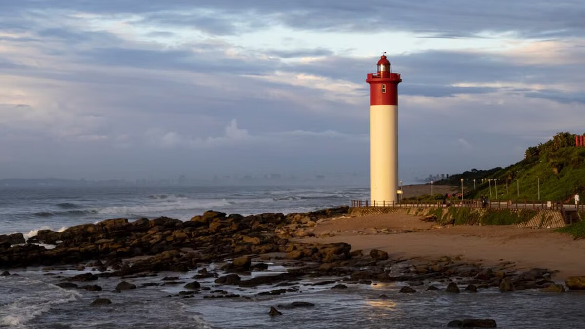
Residents across parts of KwaZulu-Natal face a rough stretch of weather this week as provincial authorities moved disaster management teams onto high alert after fresh warnings from the South African Weather Service. The sharpest concern sits on the coast, where a Level 4 warning is expected to hold until Wednesday night, while central inland areas are under a Level 2 alert on Tuesday.
KwaZulu-Natal Cooperative Governance and Traditional Affairs MEC Reverend Thulasizwe Buthelezi said communities and municipal emergency response teams should stay alert and ready for weather-related incidents. The warning matters now because the forecast points to heavy downpours that could quickly overwhelm roads, settlements and drainage systems in more than one part of the province. For many residents, that means the familiar hazards of wet-season storms could arrive fast. And with little warning.
Coastal belt faces the sharper risk
The more serious Level 4 warning covers coastal areas and remains in force until Wednesday night. While the source material does not list every coastal locality, the alert signals a heightened chance of disruptive rainfall and the kinds of sudden incidents that often follow it: flooding, road closures and dangerous driving conditions. In a province where communities sit close to rivers, steep slopes and low-lying roads, that can turn an ordinary commute into a problem in minutes.
Buthelezi’s instruction to emergency teams was blunt. Stay ready. Exercise extreme caution. That kind of message tends to land hardest where storms can cut off neighbourhoods or delay response times. Coastal districts also often see faster runoff when heavy rain falls in a short burst, which can leave streets slick and visibility poor. For drivers, that means slower travel and a higher risk of accidents. For families in vulnerable homes, it means being ready for water to rise before help can arrive.
Central inland municipalities under Tuesday alert
Central parts of KwaZulu-Natal are expected to receive disruptive rainfall under a Level 2 warning from noon on Tuesday through 23:59. The municipalities named in the alert include Msunduzi, Greater Kokstad, Nkandla, Richmond, uMngeni, Maphumulo, Ndwedwe, Umvoti, Mkhambathini, Mpofana, Mthonjaneni, Ubuhlebezwe, uMshwathi, uMuziwabantu, Umzimkhulu and Ingwe.
In those inland areas, the main concerns are localised flooding of formal and informal settlements, waterlogged roads and difficult driving conditions. That combination can hit hard even when rainfall is not extreme for long periods. A short, intense downpour can swamp drainage channels, pool on roads and make access to clinics, schools and workplaces far harder than usual. The warning is especially relevant for settlements built on exposed ground or near streams, where water tends to collect first.
Why the alert matters beyond KwaZulu-Natal
Severe weather warnings like these carry weight well beyond provincial borders because they speak to a broader pattern faced by many regions: heavier rain arriving in concentrated bursts, then moving quickly from nuisance to hazard. South Africa has seen how fast a weather watch can become a transport problem, a housing problem and, at times, a local emergency response test. KwaZulu-Natal knows that pressure well. Coastal rains can isolate communities. Inland flooding can choke key routes.
The current alert also shows how disaster management works when forecasts sharpen. Weather services issue the warning, provincial leaders relay it, and municipal teams are expected to move first. Clear messaging matters. So does speed. A road already flooded by midday does not wait for a second announcement. That is why Buthelezi’s call for caution is aimed not only at officials but at residents who may need to change travel plans, secure property and keep an eye on conditions as the system develops.
For now, the province is watching two clocks at once: Tuesday’s inland downpours and the coastal warning that stretches into Wednesday night. The next shift in the forecast will decide how much pressure falls on emergency teams, and whether the province gets through the week with damage limited to a few battered roads or something more disruptive.