Southern Africa Braces for Brutal Weekend as Massive Storm System Sweeps In
Southern Africa is hunkering down for a punishing weekend of heavy rain, damaging winds, and treacherous coastal conditions as a powerful weather front barre...
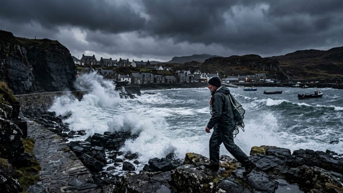
Southern Africa is hunkering down for a punishing weekend of heavy rain, damaging winds, and treacherous coastal conditions as a powerful weather front barrels across the region. Meteorologists warn that the system could trigger flash flooding and severe thunderstorms in vulnerable areas.
Forecasters expect the worst of the weather to unfold from Friday through Sunday, with the initial surge hitting Western Cape provinces hardest. The system will bring widespread precipitation, gale-force gusts along coastlines, and conditions dangerous enough to keep mariners ashore.
A Mixed Bag Across the Interior
Saturday's forecast reveals a stark divide. Interior regions will see generally calm, fine weather ranging from cool to warm. But push toward the southern and south-western corners of the country, and conditions deteriorate rapidly. The Western Cape is expected to turn noticeably unsettled, with morning fog clinging to the south coast and nearby inland areas before showers begin breaking out across much of the province.
Rain odds climb from roughly 30 percent over western and central zones to 60 percent along the southern shoreline and the Garden Route region. The Northern Cape will fare better—warmer, partly cloudy skies dominating—though the central interior is expected to turn windy.
Coastal Hazard Warnings Already in Effect
Authorities have already issued a Yellow Level 2 warning for interior wind damage across parts of the Karoo and Namakwa districts. That precaution reflects confidence in the system's punch. Combined with the moisture surge expected from the northwest, the setup mirrors patterns that have wreaked havoc across Australia's east coast in recent years, where atmospheric rivers have dumped 50 to 100 millimeters of rain in single events.
Conditions like these carry real risk. Widespread rainfall accumulating 20 to 40 millimeters across multiple states, potentially double that in localized pockets, can overwhelm drainage systems and trigger flash flooding in low-lying or urban catchments. Weekend travelers should expect significant delays and road hazards as the system moves through.
Forecasters urge residents in affected areas to secure loose outdoor items, monitor official updates, and avoid unnecessary travel during the peak of the system's passage.
HEADLINE: Southern Africa Braces for Brutal Weekend as Massive Storm System Sweeps In TAGS: weather, storms, Australia, South Africa, extreme weather, climateSouthern Africa is hunkering down for a punishing weekend of heavy rain, damaging winds, and treacherous coastal conditions as a powerful weather front barrels across the region. Meteorologists warn that the system could trigger flash flooding and severe thunderstorms in vulnerable areas.
Forecasters expect the worst of the weather to unfold from Friday through Sunday, with the initial surge hitting Western Cape provinces hardest. The system will bring widespread precipitation, gale-force gusts along coastlines, and conditions dangerous enough to keep mariners ashore.
A Mixed Bag Across the Interior
Saturday's forecast reveals a stark divide. Interior regions will see generally calm, fine weather ranging from cool to warm. But push toward the southern and south-western corners of the country, and conditions deteriorate rapidly. The Western Cape is expected to turn noticeably unsettled, with morning fog clinging to the south coast and nearby inland areas before showers begin breaking out across much of the province.
Rain odds climb from roughly 30 percent over western and central zones to 60 percent along the southern shoreline and the Garden Route region. The Northern Cape will fare better—warmer, partly cloudy skies dominating—though the central interior is expected to turn windy.
Coastal Hazard Warnings Already in Effect
Authorities have already issued a Yellow Level 2 warning for interior wind damage across parts of the Karoo and Namakwa districts. That precaution reflects confidence in the system's punch. Combined with the moisture surge expected from the northwest, the setup mirrors patterns that have wreaked havoc across Australia's east coast in recent years, where atmospheric rivers have dumped 50 to 100 millimeters of rain in single events.
Conditions like these carry real risk. Widespread rainfall accumulating 20 to 40 millimeters across multiple states, potentially double that in localized pockets, can overwhelm drainage systems and trigger flash flooding in low-lying or urban catchments. Weekend travelers should expect significant delays and road hazards as the system moves through.
Forecasters urge residents in affected areas to secure loose outdoor items, monitor official updates, and avoid unnecessary travel during the peak of the system's passage.