Southern California braces for Marie’s leftovers as storm stays offshore
Hurricane Marie is not expected to make landfall in Southern California. But the storm’s far-reaching rain, surf and thunder already are. Tropical moisture s...
Hurricane Marie is not expected to make landfall in Southern California. But the storm’s far-reaching rain, surf and thunder already are.
Tropical moisture started pushing into the region Saturday night, and by Sunday morning remnants of Marie were spreading rain across much of Southern California, with the heaviest impacts reported in Ventura, Santa Barbara, Orange, San Diego, Riverside and San Bernardino counties. The National Weather Service said the chance of rain stretched through Sunday evening, with light rain expected in Los Angeles County and showers possible across the wider region.
Rain, thunder and flood advisories
Heavy rain and thunderstorms swept through the area from early Sunday morning into the evening. Flood advisories were issued through 8 p.m. Sunday across L.A. County and nearby areas, including downtown Los Angeles and Santa Monica.
The storm is weakening over the southern Pacific Ocean, but that has not made the weekend a washout-free one. Even as Marie stays hundreds of miles offshore, forecasters said its moisture plume could keep bringing unstable weather into Southern California for at least part of the day.
Coastal areas face the sharper edge
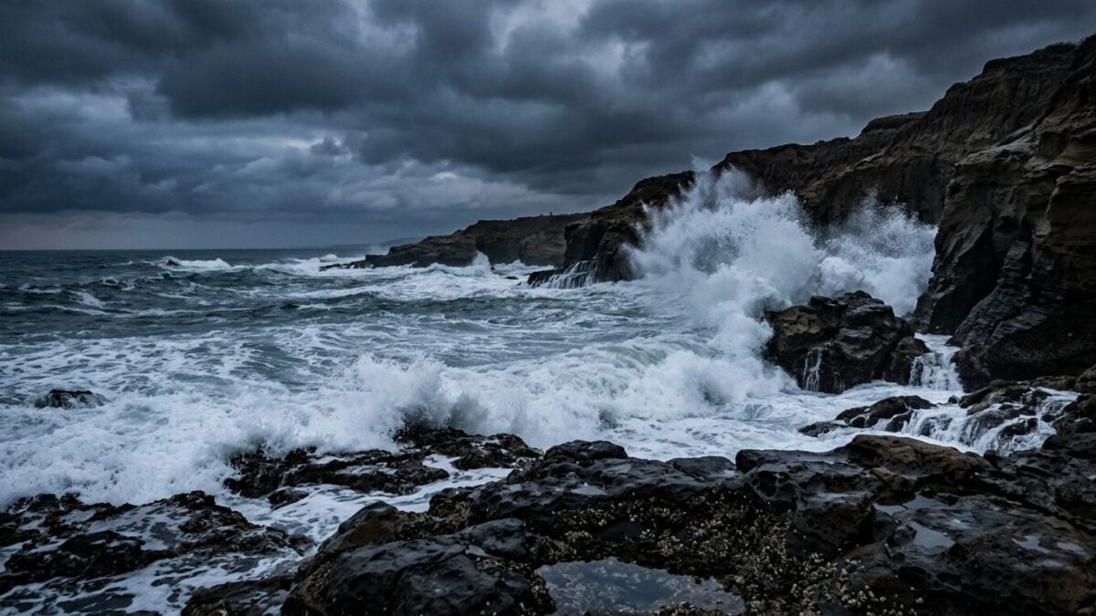
The bigger hazard may be along the water. Surf turned elevated along much of the coast Sunday and was expected to stay up on Monday, prompting continued warnings from the National Weather Service for beachgoers.
That matters well beyond the usual weekend crowd. Beach hazards can quickly turn dangerous when swell increases and currents strengthen, especially around exposed shorelines and jetties. In nearby Central Coast areas, forecasters said swell from the same storm was sending bigger waves far up the coast, with beach hazard statements in place for Santa Barbara and San Luis Obispo counties and for the Big Sur coast.
There, meteorologists said conditions around the Plaskett and Timber fires were expected to stay dry, but the shoreline was still facing sneaker waves and stronger currents. Breaking waves could reach 10 feet, according to the National Weather Service meteorologist quoted by KCBX.
What comes next
Marie’s direct path remains offshore. The attention now turns to how long the leftover moisture lingers and whether the surf keeps building into the next day. For people near the coast, the advice is simple: stay alert, keep an eye on local warnings, and give the ocean plenty of room.