UK rain to ease by midweek, but another wet spell is already lining up
Rain-soaked parts of the UK can expect a brief break by Wednesday, but the relief may not last long. A new run of low-pressure systems. Rain ease — full…
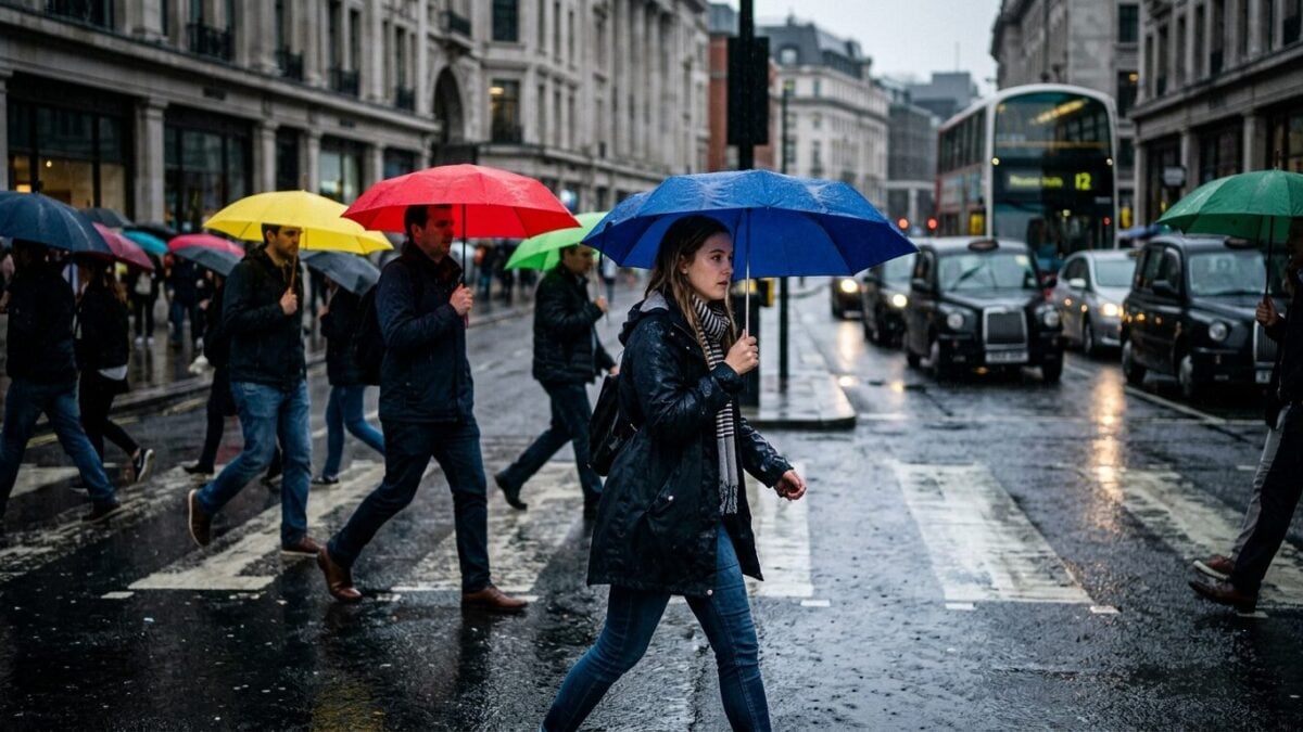
Rain-soaked parts of the UK can expect a brief break by Wednesday, but the relief may not last long. A new run of low-pressure systems is already lining up over the Atlantic, keeping the country on a cycle of wet days followed by short drier spells.
The turn comes after a deluge on Tuesday and follows a week that was the wettest in England since early February, according to the Environment Agency. For many people, it will feel like a familiar autumn pattern arriving early. Wet. Then brief calm. Then more rain.
Midweek brings a short window of calmer weather
An area of high pressure is set to move in from the west on Wednesday, bringing a temporary return to dry, settled conditions. For most places, skies should brighten with sunny spells. But the break looks narrow.
Forecast models do not point to a prolonged dry spell in the immediate outlook. Some suggest conditions may become more settled by the end of next week, though confidence is limited. Until then, Atlantic systems are expected to keep the weather unsettled.
Cooler air follows the rain
Temperatures will also fall back from the weekend’s warmth, when a southerly wind drew in hot air from a heatwave gripping central and southern Europe. The day starts fresher. Some spots will dip into single figures.
The chilliest areas, including parts of eastern inland Scotland and north-east England, are expected to see 5C to 8C. Elsewhere, readings should sit between 8C and 12C. Most places will stay dry on Wednesday, with temperatures peaking in the high teens to low 20s.
What comes next
That cooler, brighter interval may offer little more than a pause. More low pressure is waiting offshore, and forecasters say the wet-and-drier cycle is set to continue across the UK. So for anyone hoping the rain has finally done its worst, the answer is not yet.
The next real marker is the end of next week, when some models hint at a more settled pattern. Until then, England’s wettest week since early February remains the benchmark — and the rain keeps its grip.