Auckland rescue team uses 3D mapping and drones in “extraordinary” Nepal mission after quake-triggered landslides
An Auckland-based rescue specialist says a team on the ground in Nepal is using drones and 3D mapping to tackle what he called an “extraordinary”
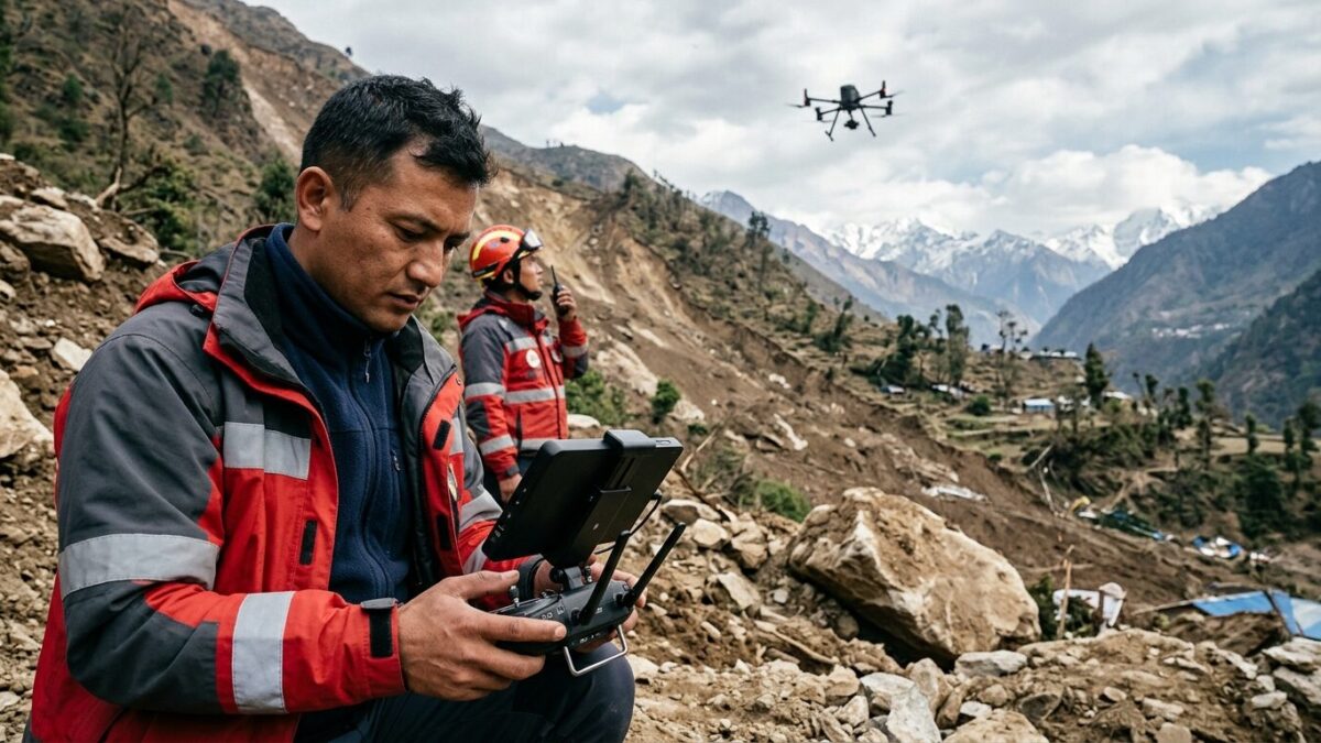
An Auckland-based rescue specialist says a team on the ground in Nepal is using drones and 3D mapping to tackle what he called an “extraordinary” emergency after earthquake-triggered landslides cut access to affected areas. The operation is moving fast, but the landscape keeps changing.
The warning came as experts in disaster response pointed to how unusual the mission is: crews are trying to assess damage and reach isolated places while dealing with blocked routes, unstable slopes and the scale of a disaster that has altered supply lines and access overnight. The situation has forced rescuers to rely on technology as much as muscle.
Technology in the field
Drones are being used to survey terrain that responders cannot safely cross on foot. The aerial images feed into 3D mapping, giving teams a clearer view of where landslides have cut roads, where structures may be at risk and which paths remain open for movement. In a country where mountain roads can already be fragile, that kind of information can decide whether help arrives in hours or days.
The rescue specialist said the Nepal operation stands out because of the combination of urgency and complexity. Earthquake damage often closes roads; landslides can do more. When slopes keep shifting, the ground itself becomes the threat. That leaves little room for hesitation.
For rescue teams, the maps are not just visual aids. They are route plans, safety checks and triage tools rolled into one. In difficult terrain, they can help direct limited resources toward the places most likely to need immediate help.
A wider disaster-response pattern
Across the world, emergency crews have increasingly turned to remote sensing, satellite images and drone reconnaissance when disasters wipe out normal communications or cut off roads. Nepal’s rugged terrain makes that approach especially valuable. What makes this mission notable is how quickly those methods are being folded into live rescue work rather than post-disaster analysis.
The expert’s description also underlines a larger shift in humanitarian response: modern rescue is no longer just about moving people and equipment. It is about finding the safest route through uncertainty. In this case, that route is being drawn in the air before anyone can walk it on the ground.
For responders in Nepal, the next challenge is likely to be access. Every fresh landslide can redraw the map. Every delay can matter. And for teams watching from abroad, the operation is a reminder that in the most difficult disasters, the first breakthrough may come from a drone camera and a digital model, not a helicopter landing or a convoy on the road.