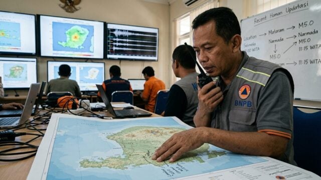
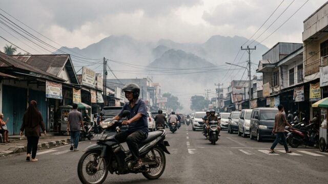
Fires Indonesia Burning Months as Smoke Threatens Millions
Fires have burned for months across parts of Indonesia’s Borneo and Sumatra, sending hazardous smoke into communities and across borders. NASA data describes…
Fires Indonesia burning months across parts of Borneo and Sumatra have sent toxic smoke over communities and across national borders, turning a recurring land and forest problem into a public health threat. Fires on dried peatland can smolder underground, making them difficult to extinguish even when surface flames are no longer visible.
The fires have affected air quality for millions of people in Indonesia and neighbouring countries, according to The Guardian. Schools have closed and emergency rooms have received large numbers of patients as smoke spreads.
Peat fires burn slowly. They can be hard to spot, too.
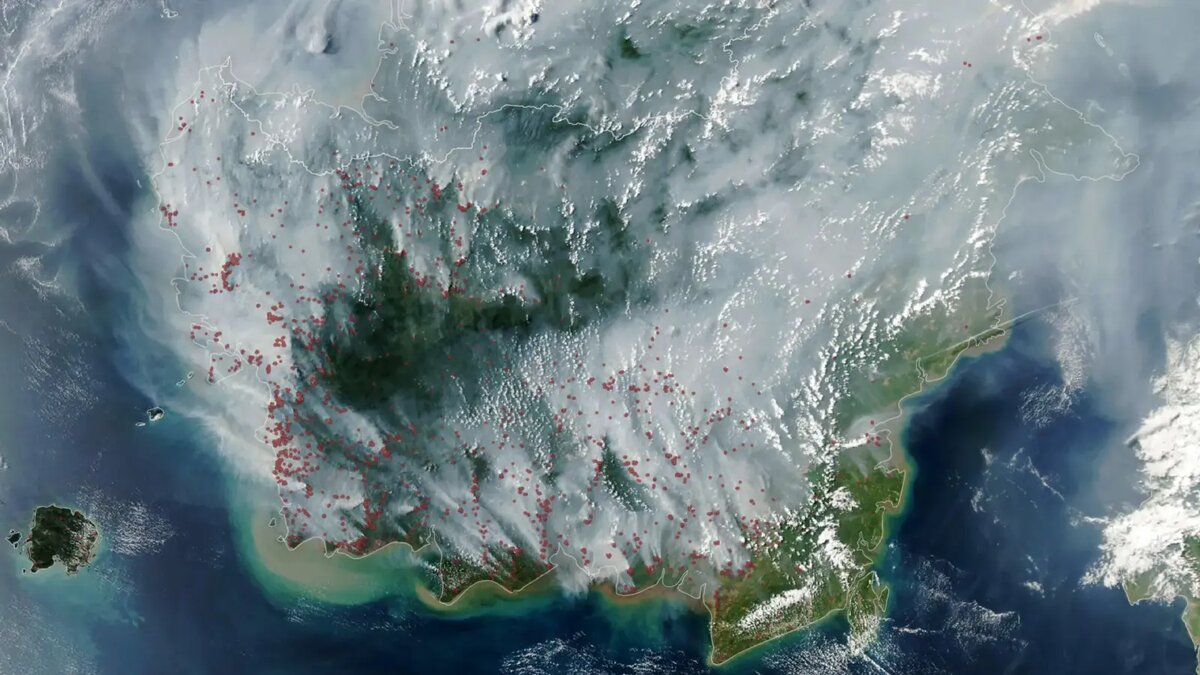
NASA said its Aqua satellite captured an image of Indonesia’s fire season on September 1, 2026. The image used data from MODIS, a sensor that identifies heat anomalies associated with fires; one fire can generate multiple detections.
Fires Indonesia burning months on dried peatland
Peat fires can continue below the surface through dried wetland soils and deposits of peat. NASA said they smolder at relatively low temperatures, making them difficult to extinguish and highly polluting.
One estimate cited by NASA found peat fires produce three times more fine particulate matter than other tropical forest fires, five times more sulfur dioxide, three times more organic carbon, and twice as much methane and carbon monoxide.
Indonesia contains about 36 percent of the world’s tropical peatlands. Under normal conditions, peat in Kalimantan, Sumatra and Papua is too wet for fire to travel underground. Drought can dry the land enough for flames to enter the peat and continue smoldering.
“Surface fires are less of a concern, but when fires get underground, they just won't stop,” Robert Field, a Columbia University researcher, said in comments published by NASA. “They'll keep burning until the rains come in October or November.”
Field said Indonesia was only about three weeks into its fire season when fire activity began rising sharply, in a pattern he compared with 2015. He said a strong El Niño was making the dry season drier over fire-prone parts of the country and worsening burning.
NOAA assessed El Niño as present and strengthening in August 2026. The climate pattern commonly reduces rainfall across Indonesia, and NASA said a positive phase of the Indian Ocean Dipole was also underway.
Smoke spreads beyond the fire zones
Data from Indonesia’s meteorological agency showed about 90 percent of the country received little or no rainfall in early August. The country’s Ministry of Forestry platform SiPongi, which uses MODIS and VIIRS satellite data to monitor fires, recorded 946 hotspots on August 31, according to NASA.
Satellite counts have limits. NASA said MODIS and VIIRS can struggle to detect fires obscured by thick smoke or clouds, hidden beneath forest canopy, or burning underground in peat. The worst smoke events can therefore be difficult to observe from space.
The Guardian reported that fires had burned at least 895,657 hectares across Indonesia since January, citing data from Nusantara Atlas. It also reported that fire emissions reached 19.7m metric tons in the first week of September, accounting for more than a third of the global total, according to the European Union’s Copernicus climate monitoring service.
The health burden rose quickly in affected provinces. The number of people suffering wildfire-related respiratory illnesses more than doubled, reaching 113,336 by 9 September from 50,891 on 1 September, The Guardian reported.
Air conditions in Sampit, central Kalimantan, were classified as hazardous every day that September, according to the Swiss air monitor IQAir. On 10 September, its rating reached 1142. In Kuching, on Malaysian Borneo, air quality levels fluctuated between unhealthy and hazardous during the month.
The smoke can travel far from the flames. The Guardian described it as transboundary haze when it crosses national borders, with residents in Indonesia and neighbouring countries exposed to the pollution.
NASA’s comparison with the 2015 fires shows how quickly emissions can accumulate. After more than three months of burning that year, fires released 1.75 billion tons of greenhouse gas equivalents. By September 2, 2026, fires that had burned for about a month had released roughly 10 percent of that amount, NASA reported.
Source: sciencedaily.com