Queensland Braces for Sharp Temperature Drop and Blustery Winds
Residents across Queensland are preparing for a jarring shift in weather as two powerful systems converge on the state. The coming days will bring a
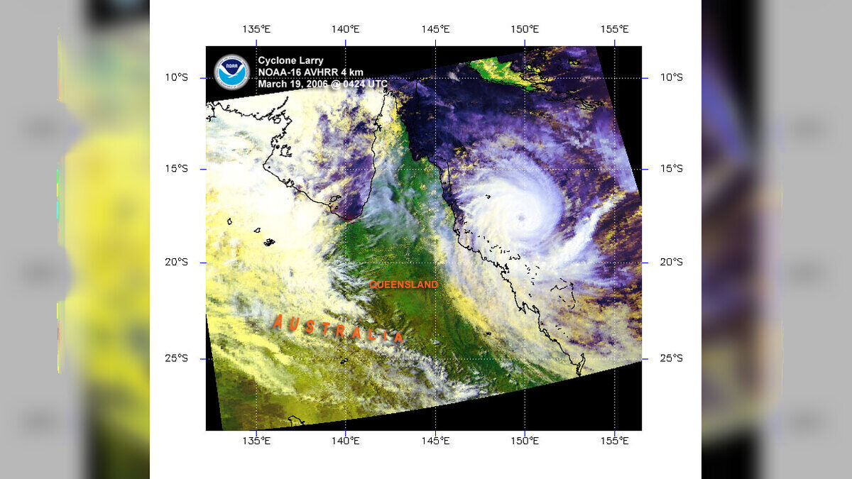
Residents across Queensland are preparing for a jarring shift in weather as two powerful systems converge on the state. The coming days will bring a stark contrast in conditions, forcing people in the south-east to secure outdoor items against aggressive winds while those in the north reach for their heaviest coats.
The forecast, released this July 17, 2026, signals a period of intense atmospheric activity. Meteorologists tracking the movement of these weather systems expect a dual impact: a volatile mix of rain and gusts in the southern regions and an unseasonably cold snap further north.
A Tale of Two Climates
In south-east Queensland, the atmosphere is set to turn hostile. The combination of two distinct, high-energy weather patterns is funneling strong winds across the landscape. Authorities warn that these conditions will likely persist for several days, creating a "very blustery" environment that could disrupt daily commutes and outdoor plans.
While the south deals with the wind and the associated rainfall, the northern parts of the state face a different challenge. The mercury is projected to take a significant tumble, potentially hitting single digits. For many communities in the north, this represents a sharp departure from the typical winter warmth, turning early mornings into a test of endurance for those heading to work or school.
Managing the Impact
The rapid onset of these conditions means residents have little time to prepare. Local emergency services often suggest clearing balconies of loose furniture and checking tree branches near homes during such wind events. The sudden drop in temperature in the north also carries health implications, particularly for vulnerable individuals who may not be accustomed to such low readings.
Global weather patterns have increasingly shown these types of fragmented extremes, where a single state experiences two vastly different climate events simultaneously. The interaction between these specific systems demonstrates just how quickly a stable, clear week can devolve into a period of high alert. For those living in the affected regions, the next few days will require constant attention to local updates as the systems move across the state.
Current models indicate that the wind intensity in the south-east will remain the primary concern for the immediate future. Coastal areas, in particular, remain on watch for gusts that could reach higher speeds than inland suburbs. As the front clears, northern residents should brace for at least one night of temperatures dipping below 10 degrees Celsius.