6.1 Magnitude Quake Hits Sumba, Indonesia; Infrastructure Damaged
A 6.1 magnitude earthquake struck Sumba Barat Daya, Indonesia, on Sunday morning, causing significant damage to homes and public facilities.
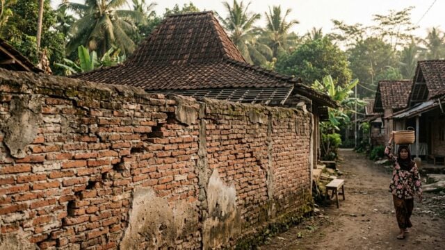
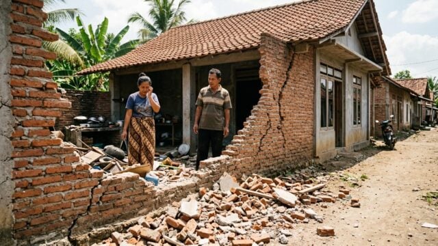
KODI, Indonesia — A 6.1 magnitude earthquake struck the Sumba Barat Daya Regency in East Nusa Tenggara on Sunday morning, Oct. 4, 2026, causing widespread panic and significant damage to residential and public infrastructure. The tremor, which occurred at 5:55 a.m. local time (WIB), sent residents fleeing from their homes as the ground shook violently.
The impact was most severe in the Kodi Bangedo district. Elis Kaka, the district head, reported that virtually all 15 established villages and three administrative settlements in the area sustained some level of structural damage. Three villages—Maliti Bondo Ate, Leka Ninyo, and Lete Loko—were hit hardest, situated just 6 kilometers from the epicenter.
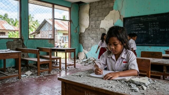
“These villages are the most heavily impacted, given their proximity to the quake's source,” Kaka said. In addition to private dwellings, local schools, government offices, and houses of worship have suffered structural failures, prompting officials to continue damage assessments as the scale of the destruction remains fluid.
Discrepancies in Casualty Reports
Official reports regarding human impact remain conflicted. While District Head Kaka stated he had received no reports of injuries or fatalities, Indonesia’s Meteorology, Climatology, and Geophysical Agency (BMKG) reported one individual sustained minor injuries. The agency also confirmed that the village of Pero Konda saw moderate damage, affecting an Islamic elementary school and several family homes.
The tremor reached an intensity of IV to VI on the Modified Mercalli Intensity (MMI) scale. At level VI, shaking is felt by nearly everyone, causing people to run outdoors in distress and triggering the collapse of wall plaster. The earthquake originated at a depth of 30 kilometers off the coast. While technical data regarding the exact coordinates of the epicenter showed slight variations between local emergency services and the central BMKG office, the agency confirmed there is no risk of a tsunami.
Epicenter Data Comparison
| Data Source | Coordinates | Distance from Kodi |
|---|---|---|
| BPBD / Initial BMKG | 9.84° S - 118.90° E | 29 km Southwest |
| Central BMKG Update | 9.70° S - 118.92° E | 14 km Southwest |
Emergency Response and Safety
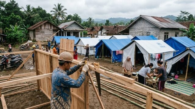
For the residents of Sumba Barat Daya, the immediate aftermath involves managing the loss of shelter and the disruption of essential services. Many have opted to remain outdoors, fearing that structures weakened by the primary shock could collapse during aftershocks.
Stefanus Malo, head of the local Disaster Management Agency (BPBD), stated that response teams are currently deployed to verify the extent of the damage across the affected regions. “Our position is quite far from the primary locus of the epicenter, so we are working intensely to update and gather real data from all affected points,” Malo said.
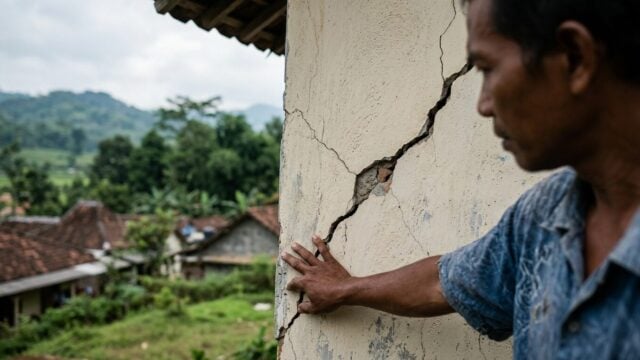
BMKG’s Deputy for Climatology, Ardhasena Sopaheluwakan, urged the public to exercise caution regarding damaged structures. “We advise residents to stay calm, ignore unverified information, and avoid buildings that have cracked or sustained damage due to this earthquake,” Sopaheluwakan stated.