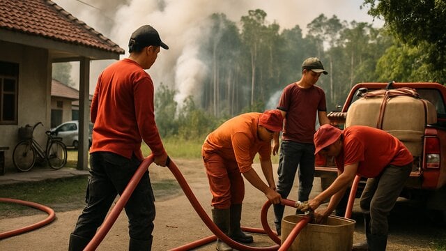
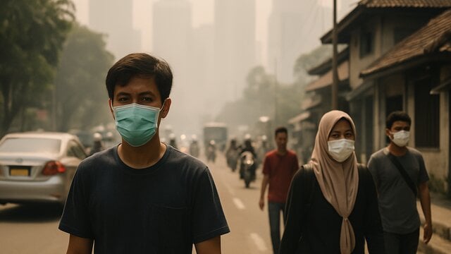
Indonesia Plans System to Predict Peatland Fires Three Days Ahead
Indonesia plans a system to predict peatland fires three days ahead, alongside water monitoring, canal mapping and evacuation preparations.
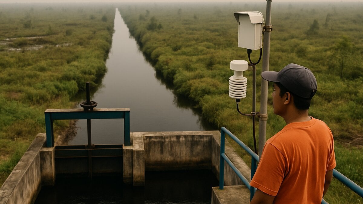
JAKARTA — Indonesia’s National Peatland and Mangrove Management Agency wants to forecast peatland fires up to three days before they start, a proposed early-warning effort aimed at giving authorities more time to protect communities and prepare responses. The system is a development target, not an operational service, and officials say they may build on technology developed by other groups.
Deputy head Sriyanto outlined the plan at the State Palace in Jakarta on Thursday, Oct. 15. He said the agency wants to identify fire risks, map vulnerable areas and give local authorities time to prepare mitigation measures, including protections for residents.
“If possible, three days beforehand. I am sure there is no technology that can predict fires across Indonesia three days beforehand. However, at least we can make use of technology already developed by our colleagues,” Sriyanto said.
Water levels and canals shape the risk
The proposal goes beyond monitoring conditions in the field. Sriyanto said the agency wants to analyze what drives fire risk and estimate where fires could occur. Systems developed by other parties, including regional police, could be considered as part of that work.
One indicator he cited is the water table in peatland. If the water level falls below 40 centimeters, he said, measures to reduce fire risk should be taken promptly. Detailed information about where water levels are falling could help officials identify areas that need attention, including sites where canal blocks may be needed.
That approach matters for people living near fire-prone land: an earlier warning could give authorities more time to prepare safe locations and evacuation arrangements before a blaze threatens settlements. Sriyanto said preparedness must include deciding where residents can go and how an evacuation would work, rather than stopping at predicting the possibility of a fire.
The agency has not provided technical details on the proposed forecasting method, the areas it would cover or when the system might be deployed. Sriyanto said some technologies developed by other groups could be used, and that the agency had identified several developers, but he did not name them.
Canal mapping is part of prevention
Agency head Setyawan Pudyatmoko said peat becomes more vulnerable when it shifts from wet and damp conditions to dryness. Canals that carry water away from peat areas are one contributing factor, including canals cut through peat domes that naturally store water.
During the dry season, water loss can leave those areas more prone to drying out. The agency plans to map canals and build blocks to slow water flow and help retain moisture. In that sense, fire forecasting and water management are linked: recognizing where land is drying can guide both early warnings and prevention work.
“We know that canals are the source of drying. Peatlands have domes. Often, canals are built in the domes that store water, even though they are the water towers. So when the dry season comes, as it is now, the water from the domes is gone,” Setyawan said.
The agency also says prevention plans should account for local livelihoods. Sago, jelutung and pineapple were cited as crops that do not require much water. Setyawan said peatland management should support the economic sustainability of local communities, so fire prevention does not come at the cost of residents’ sources of income.
Scientific modeling and expert input planned
The agency says scientific modeling will be needed to estimate when and where peatland could dry out. It plans to involve specialists in peat, hydrology, revegetation and social economics, with a similar expert group intended to support mangrove management.
The three-day forecast remains an ambition. The agency has not said that a system with that capability is already operating. Any future warning effort would need to connect monitoring and modeling with practical measures on the ground, including evacuation planning. Sriyanto said: “We must determine what evacuations can and should be carried out to protect the community, where the safe points are and how the mechanism will work.”