Satellite Images Show New Land Near Indonesia’s Anak Krakatau
Satellite imagery shows 32.8 hectares of added land on Anak Krakatau and two nearby formations that Indonesian officials say may be new islands.
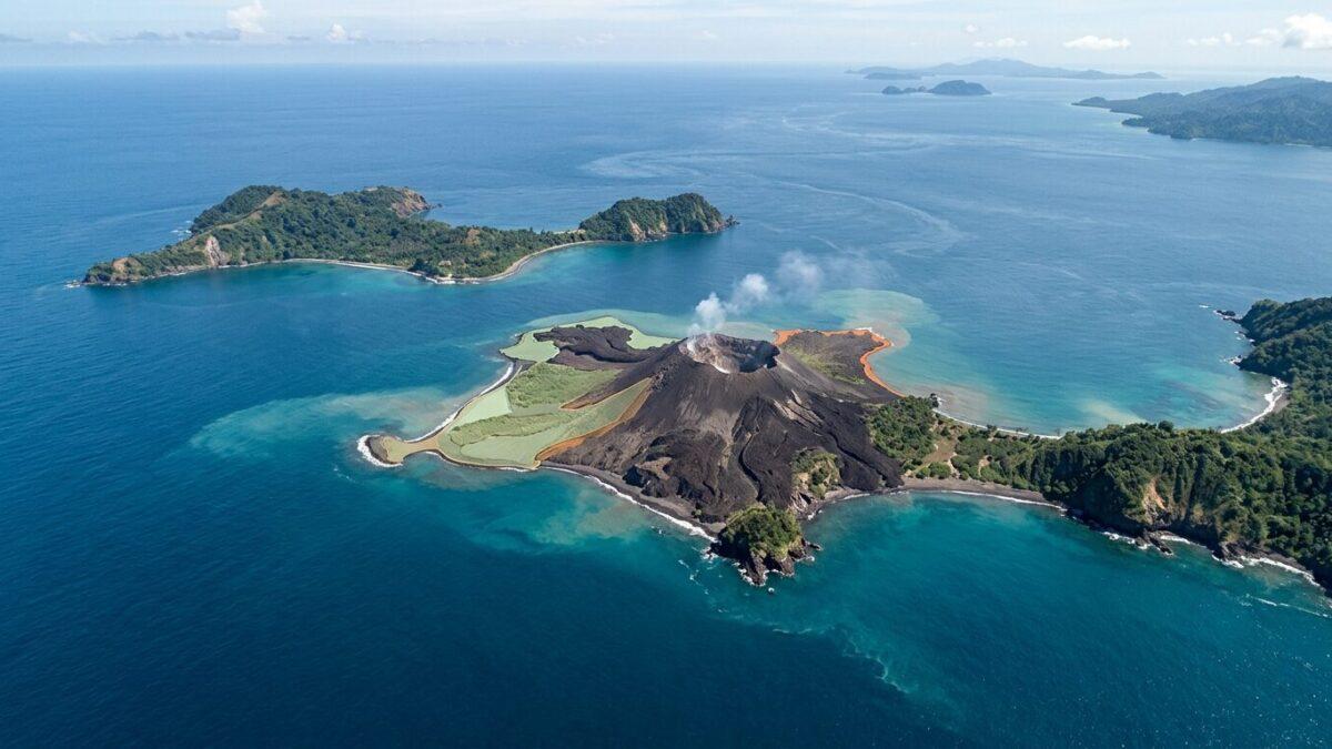
JAKARTA, Indonesia — A 25-hour eruption at Anak Krakatau in the Sunda Strait between Java and Sumatra appears to have reshaped the volcanic island, with satellite images showing 32.8 hectares of added land and two nearby formations that may be new islands.
Indonesia’s Center for Volcanology and Geological Hazard Mitigation (PVMBG) identified the changes in Sentinel satellite imagery following the eruption, which lasted from Sept. 4 to Sept. 6, 2026. PVMBG chief Rita Susilawati said the new land had accumulated along the volcano’s northwest, west and southwest sectors. “The increase, after our calculations, is 32.8 hectares,” she said Wednesday, Sept. 23.
The estimate is slightly higher than a figure of about 30.3 hectares circulating on social media, which described new land between Anak Krakatau and Sertung Island. PVMBG said it conducted a closer assessment using more precise satellite measurements.
The imagery also showed two small landforms northwest and southeast of the volcano’s main body. Officials have not confirmed that they are islands or established their origin.
Possible magma pathway under study
Susilawati said the formations may be linked to the September eruption, which PVMBG interprets as involving a supply of relatively fluid new magma. One possibility under review is that magma reached the surface through an elongated opening running from northwest to southeast, depositing eruptive material at separate locations.
“This is still a hypothesis, not an expert conclusion,” Susilawati said. The agency said additional field research is needed before it can determine the formations’ nature and whether they resulted from the eruption.
Volcanic changes in a tsunami-prone strait
Anak Krakatau has remained active since the catastrophic 1883 eruption of Krakatau. In 2018, an eruption and the collapse of part of the volcano triggered a tsunami in the Sunda Strait that killed hundreds of people.
The latest satellite findings add to scientific monitoring of a volcano whose activity can affect communities and maritime routes around the strait. PVMBG has not confirmed the two smaller formations as islands, and the reported 32.8 hectares refers to land added to the volcano itself.