Southern Ontario Set for First Snow of Season, Up to 15 cm in Lambton County
Southern Ontario faces its first wintry blast of the season as a deep trough pulls cold air south. Forecasters expect 10-15 cm in Lambton County through Saturday, flurries in the Greater Toronto Area and the region's first freezing temperatures in Toronto.
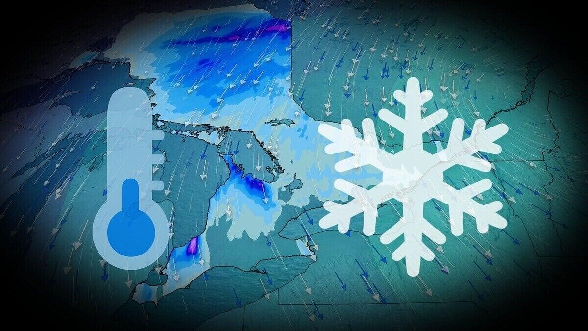
The Ontario snow forecast points to the first snowfall of the season for parts of the south, with Lambton County possibly receiving 10-15 cm through Saturday, forecasters said. Cold air from a deep trough is set to push into the region.
Not all of that snow will stay. A rain-snow mix is expected to melt part of it.
Until now, Ontario has stayed well above seasonal temperatures because of a block of high pressure off the US East Coast. That is about to change. A deep, upper-level trough is forecast to dig across much of Eastern Canada and the United States by the end of the week, dragging cold northern air southward.
Forecasters described it as the coldest burst of air of the season so far for southern Ontario. Temperatures are forecast to fall from Thursday into Friday. Daytime highs on Friday should stay in the single digits, and wind chills will make it feel colder.
Where the snow is expected
A low-pressure system from Illinois brought showers to southern Ontario on Wednesday. As it retreats through Thursday, it will pull cold air south and fuel lake-effect flurries south of the Great Lakes on Friday morning.
Most places will see less than 3 cm. Totals near 5 cm are possible around Sarnia-Lambton counties and near Collingwood.
Sarnia and surrounding cities will see a rain-snow mix from Thursday night through Saturday morning, which should cut snow totals. Forecasters said Lambton County could still reach 10-15 cm through Saturday, though some of it will melt quickly.
The snowbelt off the southern shore of Georgian Bay is also in line for snow, with the hardest-hit areas forecast to receive 5-10 cm. Totals remain uncertain because of frequent switches to rain during the day.
What it means for Toronto
Some brief flurries may reach the Greater Toronto Area. Toronto could see its first flurries and its first freezing-mark temperature of the season on the same day. The city's best chance of dropping to freezing is Thursday night.
Forecasters warned that accumulations may be low, but a first snowfall can catch drivers off guard, especially those who have not yet fitted winter tires.