6.1 Magnitude Earthquake Strikes Sumba, Damaging Schools and Homes
A 6.1 magnitude earthquake struck Kodi, Sumba Barat Daya, on Sunday. Schools and homes were damaged, leaving one injured. No tsunami warning issued.
KODI, INDONESIA — A powerful 6.1 magnitude earthquake struck the Kodi region of Sumba Barat Daya, East Nusa Tenggara, on Sunday morning, Oct. 4, 2026, causing widespread panic and damaging vital community infrastructure. The tremor occurred at approximately 5:55 a.m. local time (WIB), catching residents off guard as many were beginning their morning routines.
Indonesia's Meteorology, Climatology, and Geophysical Agency (BMKG) confirmed the tectonic event did not pose a tsunami threat. Despite the lack of an oceanic surge, the intensity of the shaking caused structural damage to homes and public buildings across the area.
Infrastructure Damage and Casualties
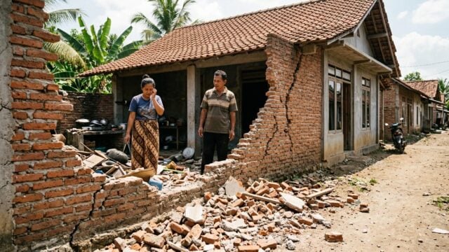
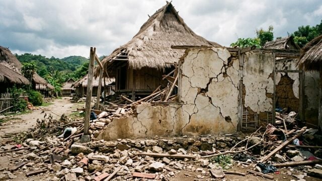
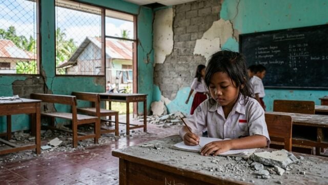
Initial damage reports are concentrated in the Perokonda area. Teguh Rahayu, Director of Engineering Seismology, Potential Geophysics, and Time at the BMKG, stated that an Islamic elementary school sustained physical damage. Additionally, two private residences were reported to have suffered moderate structural failure.
Authorities have confirmed that one individual sustained minor injuries during the event. According to Rahayu, the damages observed across the affected zones are currently classified in the moderate intensity range.
Seismic Intensity and Impact
The earthquake’s impact was felt at varying levels across the Sumba region, with BMKG measurements ranging from IV to VI on the Modified Mercalli Intensity (MMI) scale. At intensity IV, residents reported swaying objects, rattling windows, and creaking walls, indicating typical vibrations felt by both indoor and outdoor occupants.
In areas closer to the epicenter, the intensity reached level VI MMI. At this level of force, the impact is significant: the entire population feels the shaking, causing residents to flee buildings in terror. The tremors were sufficient to cause plaster to detach from walls and light damage to industrial infrastructure.
Geological Data and Aftershocks
Seismological data indicates the epicenter was located at 9.70 South Latitude and 118.92 East Longitude, approximately 14 kilometers southwest of Kodi. Earlier reports from the agency had provided a slightly different seismic map, placing the origin 10 kilometers south of Kodi at a focal depth of 14 kilometers.
Following the primary 6.1 magnitude tremor, a series of smaller aftershocks rattled the region for several hours. The BMKG has urged local residents to remain vigilant, specifically advising against entering structures that sustained cracks or structural weakness, as the risk of collapsing debris remains a primary concern for the community.