Balikpapan Study: Data Analysis Maps Spatial Popularity Gap
Researchers combined satellite night-light images with Google Maps records in Balikpapan, gateway to Indonesia's new capital. Lighting was even across districts, but popularity scores for city brand objects stayed below forty-five percent everywhere.
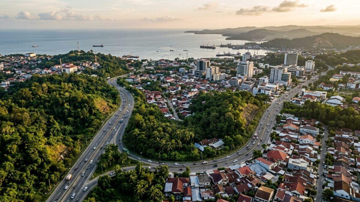
A new study whose data analysis maps spatial popularity in Balikpapan, the East Kalimantan coastal city that serves as the main gateway to Indonesia's new capital, Nusantara, found low scores everywhere. Average popularity for designated city brand objects stayed below forty-five percent in all administrative districts.
The researchers conclude that physical expansion and electrical illumination do not automatically translate into public engagement. Secondary and feeder cities, they argue, need deliberate, evidence-based spatial branding rather than infrastructure alone.
Lights without loyalty
The team combined satellite nighttime light data with geotagged point-of-interest records. Artificial lighting was distributed fairly evenly across urban sectors, which the study reads as a sign of broad commercial activity.
Popularity did not follow. High concentrations of urban infrastructure did not consistently line up with zones of elevated public perception or spatial attachment.
The researchers say this divergence shows that physical growth alone is insufficient to build civic recognition.
How the data was gathered
The first dataset came from Google Maps, collected with dedicated Python automation routines. It captured geographic coordinates, place categories, visiting frequencies, visitor demographics and temporal usage patterns.
The team sorted these points into city brand objects, meaning tangible places that convey the city's physical and symbolic identity.
The second dataset used night-light imagery from the Visible Infrared Imaging Radiometer Suite, a sensor aboard Earth observation satellites. The images were standardized to a spatial resolution of 750 meters.
Nighttime radiance correlates strongly with local population presence and economic activity, the researchers say. That made it a dependable baseline for mapping physical vitality across Balikpapan's electrical network.
They describe the framework as a way to overcome the subjective bias and geographic limits of traditional surveys.
Satellite city pressures
The study places Balikpapan among satellite cities in developing regions. There, rapid urbanization forces peripheral centers to absorb population spillover from larger metropolitan cores.
The authors cite Shenzhen in China, Tangerang Selatan near Jakarta and Pune next to Mumbai. Shenzhen evolved from a peripheral manufacturing zone supporting Hong Kong into an independent global technology leader.
Asian satellite settlements, the study says, face dual pressures. They serve as support buffers for core hubs while trying to build self-reliant civic identities.
Balikpapan's Regional Long-Term Development Plan for 2025 to 2045 names five pillars: services, industry, trade, tourism and education. Municipal authorities want to build on the city's strategic status, anchored by Semayang Seaport and Sultan Aji Muhammad Sulaiman International Airport.