Polar Vortex Breaks Down Earliest on Record as El Niño Builds
The polar vortex, the ring of winds that normally corralls Arctic cold, has broken down earlier in the year than at any point on record.
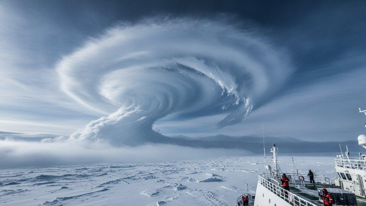
The polar vortex, the ring of winds that normally corralls Arctic cold, has broken down earlier in the year than at any point on record. Forecasters at the FOX Forecast Center reached that conclusion in their analysis. A historically strong El Niño is building at the same time and may pull the winter in the opposite direction.
Winds about 30 kilometers (roughly 19 miles) above the Arctic normally blow west to east at around 28 meters per second. On Wednesday, November 11, they weakened and briefly flipped, blowing the other way at about 2 meters per second. Temperatures at that height ran about 10 degrees Celsius above the November 11 average.
Such breakdowns usually happen in January or February. This one arrived weeks ahead of that.
What the polar vortex does
The vortex is a band of fast winds high in the stratosphere, 10 to 30 miles up. It forms each fall as the Arctic goes dark. It circles the pole from roughly 55 degrees north, about the latitude of Ketchikan, Alaska, and keeps the coldest air bottled up near the top of the world.
When those winds weaken or reverse, the dam can leak. Intensely cold air may then spill toward lower latitudes. The current disruption is what meteorologists call a "major sudden stratospheric warming."
How the vortex fails shapes the weather that follows. Troughs that dip south, known as "lobes," bring short cold spells and are fairly common in a typical winter. In other cases the circulation splits into smaller pieces. One forecast published earlier this month pointed to a split into two separate cores.
El Niño pulls the other way
A historically strong El Niño is also in play. It typically pushes global temperatures higher, setting up what one report described as an atmospheric tug-of-war over winter weather. Nobody can yet say which side wins.
The FOX Forecast Center said El Niño and a strong Pacific jet stream should favor above-average temperatures across much of the United States through December. It also cautioned that the vortex collapse does not mean temperatures will drop overnight, or at all.
What comes next
Any cold effects in North America would likely take several weeks to develop, according to the FOX analysis. One forecast outlook showed early signs of cooler trends over parts of Europe and the eastern United States in the coming weeks. The same outlook said that, if the reversal is confirmed, it would beat the previous earliest event by at least three weeks.
Experts say they are still unsure how the collapse will play out in everyday weather. Long-range data in that outlook also points to a stronger disruption in mid-winter 2026-27.