NOAA Forecasts Strong El Niño Lasting Into Early Spring, Wet South Expected
NOAA says a very strong El Niño that began developing in June will likely last into early spring. Water temperatures have passed 2ºC above average, and forecasters expect a wetter winter across the southern US and a warmer, drier one in the north.
The US National Oceanic and Atmospheric Administration (NOAA) is forecasting that a very strong El Niño, which began developing in June, will likely last into early spring next year. Ocean temperatures have now passed 2ºC above average, earning the event the nickname 'Super El Niño'.
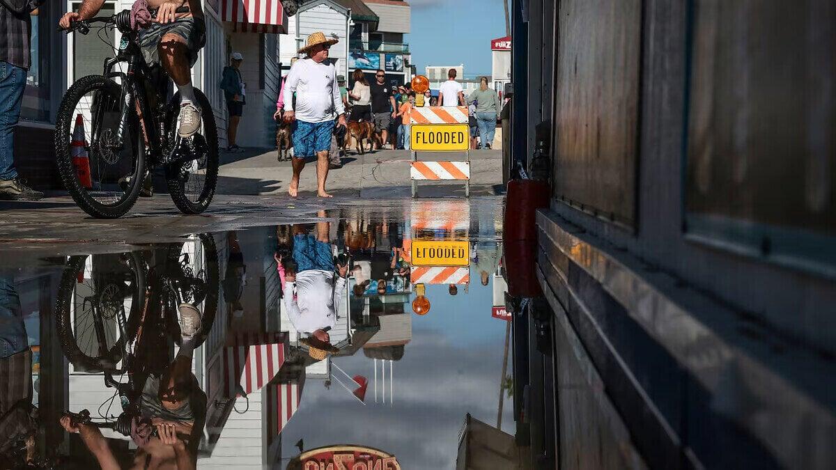
The forecast points to a winter of sharp contrasts across North America, with flood risk in the south and mild, dry weather in much of the north.
El Niño is a natural climate cycle. Trade winds over the Pacific, which usually blow east to west, weaken or reverse, and warm water spreads eastward. That releases heat into the atmosphere and can shift weather patterns worldwide.
Wet south, mild north
The latest three-month forecast from the US National Weather Service suggests a wetter winter for the southern states in 2026-2027. South-eastern states, including Florida, Georgia and the Carolinas, have the greatest chance of above-average rainfall.
The mechanism is the Pacific jet stream, which shifts south and stretches eastward during El Niño. That steers rain-bearing systems across the southern US.
California Governor Gavin Newsom has already declared a state of emergency ahead of anticipated floods and mudslides. Areas scarred by recent wildfires are especially vulnerable, and climate change adds to the risk.
Not every strong El Niño delivers. California had below-average rainfall in the strong El Niño of 2015-2016, though winter 2023-2024 brought relief from drought.
Further north, the same jet stream shift usually means warmer, milder winters in the north-west US, the Northern Plains, the Ohio Valley and western and central Canada. That lowers flood risk but can leave groundwater and rivers low, which feeds drought and wildfires in spring and summer. Ski resorts may suffer from thin snow.
Coasts, snow and storms
Kelvin waves, large-scale waves that travel along the west coast of the Americas, can raise sea levels by 15cm (6in) or more. That could worsen coastal erosion and large waves.
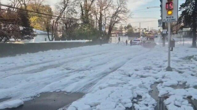
Snowfall is harder to call. Above-average precipitation typically brings heavy snow to the Californian mountains and southern Rockies. Lower-level snow in the south and east needs enough cold air.
The Washington DC area often sees more snow than usual in an El Niño winter, but not always. Forecasters also say El Niño can raise the odds of disruption to the stratospheric polar vortex, which can bring snow later in winter.
The effects are already visible. The Atlantic hurricane season ended at the start of November with only 10 named tropical storms, one of the quietest on record, and just one became a hurricane. El Niño created strong upper-level winds and wind shear that tore apart developing storms.
Forecasters stress that no two El Niños are the same. The impacts are not guaranteed, and the odds are only shifted toward certain outcomes.