6.1 Magnitude Earthquake Strikes Southwest Sumba, Indonesia
A 6.1 magnitude earthquake hit Southwest Sumba, Indonesia, on Oct 4, 2026. Authorities report structural damage but no tsunami threat.
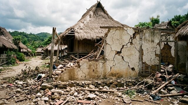
KODI, Indonesia — A powerful magnitude 6.1 earthquake struck off the coast of Southwest Sumba in Indonesia’s East Nusa Tenggara province early Sunday, Oct. 4, 2026, causing widespread alarm and structural damage across the island. The tremor hit at 5:55 a.m. local time (WIB), with its epicenter located 14 kilometers southwest of the coastal district of Kodi at a shallow depth of 10 kilometers.
Indonesia's Meteorology, Climatology, and Geophysical Agency (BMKG) confirmed that while the quake was intense, it did not trigger a tsunami warning. However, the proximity of the epicenter to the shoreline resulted in significant shaking that was felt as far away as the tourist hub of Labuan Bajo on the island of Flores.
Widespread Impact and Structural Damage
The earthquake’s effects were felt across varying intensities on the Modified Mercalli Intensity (MMI) scale. In parts of West Sumba, the shaking reached level V MMI, a magnitude capable of causing light objects to topple, goods to fall from shelves, and prompting residents to flee their homes in panic. In Manggarai Barat and Labuan Bajo, the tremor registered between IV and V MMI, while cities such as Waingapu and Ruteng experienced moderate to strong vibrations between III and IV MMI.
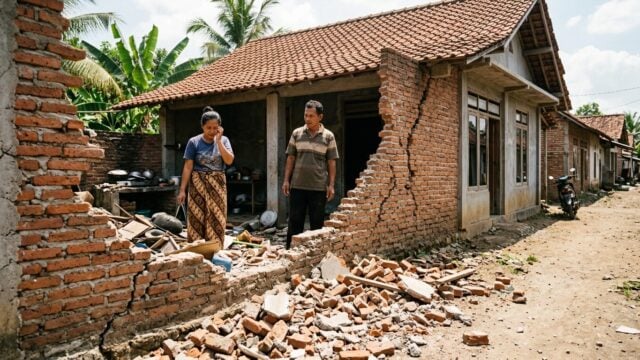
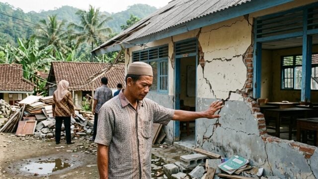
Reports from the field indicate initial property damage. Teguh Rahayu, Director of Engineering Seismology at the BMKG, noted that the village of Perokonda sustained structural impacts, including damage to one Islamic elementary school and at least two residential homes. Local disaster management agencies are continuing to survey the affected areas to assess the full extent of the destruction.
Seismic Analysis and Revisions
The BMKG later refined its data regarding the seismic event. While initial estimates placed the magnitude at 6.1 with a depth of 10 kilometers, updated analysis adjusted the intensity to magnitude 5.9 with a revised depth of 30 kilometers. The epicenter was pinpointed at 9.84 degrees south latitude and 118.90 degrees east longitude, approximately 29 kilometers southwest of Kodi.
Despite the revisions, the depth remains relatively shallow, explaining why the earthquake was felt so strongly across the region. Officials have urged residents to remain vigilant against potential aftershocks and to avoid buildings that show visible cracks or structural weaknesses. The public has been advised to disregard unverified rumors regarding tsunami threats and to rely solely on official updates from the BMKG website and verified social media channels.
Sunday proved to be a seismically active day for the Indonesian archipelago. Aside from the Sumba event, the national monitoring network recorded two additional earthquakes in Aceh, including a magnitude 4.1 tremor at a depth of 5 kilometers and a subsequent magnitude 5.9 event occurring roughly 68 kilometers southwest of Calang at 6:37 a.m. local time.